Growers urged to get the app to improve the map
By Horticulture Innovation Australia
Australia’s avocado, mango and macadamia growers are being called on to contribute to a map that aims to enhance the nation’s biosecurity response and planning capability, and help with recovery efforts after severe weather events.
The draft online map, available here, shows commercial avocado, mango and macadamia crops around the country, and has been formulated with satellite imagery generated by scientists, land-use information from industry and government, as well as ‘citizen science’ collected via a purpose-built app.
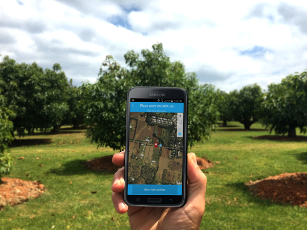
The Land Use Survey app in action.
Horticulture Innovation chief executive John Lloyd said that while contributors have made more than 1000 entries via the Land Use Survey app so far, there is still plenty more work to be done.
John said during plant biosecurity outbreaks such as citrus canker, banana panama disease and, more recently, the tomato-potato psyllid, one of the biggest impediments to rapid response is identifying where exactly the host crops are.
“This new map allows growers to help safeguard the future of their industries by pinpointing where farms are, along with helping their industry bodies and relevant agencies plan and enact biosecurity measures during serious pest and disease incursions,” John said.
“In the case of severe weather events, such as fires or floods, this map will also allow peak bodies and authorities to quickly and easily identify farms impacted, speeding up any aid provision process.
“So we are encouraging growers to grab their smartphones, tablets or laptops, review the map and add their comments to help support their industries through this ambitious land-use mapping project.”
The Land Use Survey app is available for Android and iOS devices, and can be downloaded via the Google Play Store and Apple App Store respectively.
Recently, the map helped respective industry representative bodies determine the extent of the impact of Tropical Cyclone Debbie, which crossed the North Queensland coast on 28 March. It also has the potential to assist growers with insurance claims.
John said this research may also inform future mapping projects for other horticultural industries.
This mapping project is supported by Horticulture Innovation through funding from the Australian Government Department of Agriculture and Water Resources, as part of its Rural R&D for Profit Program. Led by the University of New England, the work involves a host of industry collaborators including Avocados Australia, the Australian Macadamia Society, and the Australian Mango Industry Association, and Simpson Farms.
The University of Queensland, University of Sydney, Central Queensland University, Agtrix Pty Ltd, the Queensland Department of Agriculture and Fisheries, Queensland Department of Science, Information Technology and Innovation are also project collaborators. See more on the broader National Tree Project here.
