Erosion; Challenging Business for Landholders and Service Providers Alike
High intensity storm and cyclone rains followed by long periods of drought have taken their toll on infrastructure and farm lands in South Burnett, Queensland recently.
The resulting soil erosion events are substantial and have not been seen by locals in half a lifetime. It’s not just landholders affected by the severe rain events – service providers, councils and telcos also experienced problems with road infrastructure and cables being damaged.
In the small grazing community of Gordonbrook near Kingaroy, landholders involved local Regional Body, the Burnett Mary Regional Group (BMRG), in dealing with a serious gully erosion problem.
The gully was located on a grazing property owned by Mike and Lorraine Langley. The erosion gully developed on the Langley’s property opposite a cross road drainage structure located on the council road. The gully was active for many years and became a real problem during the floods of 2011-2013. Cyclonic rainfall and flooding caused it to progress to the boundary fence exposing a communication cable over a metre underground.
The opportunity to halt the gully and infrastructure problems emerged with two BMRG initiatives.
The first was a state government funded program, “Sustainable grazing management and on-ground works: conserving soils in the Burnett Mary Region”. Through this program BMRG supplied funding for the cost of remediation and advice from BMRG’s Soil Conservation Officer John Day.
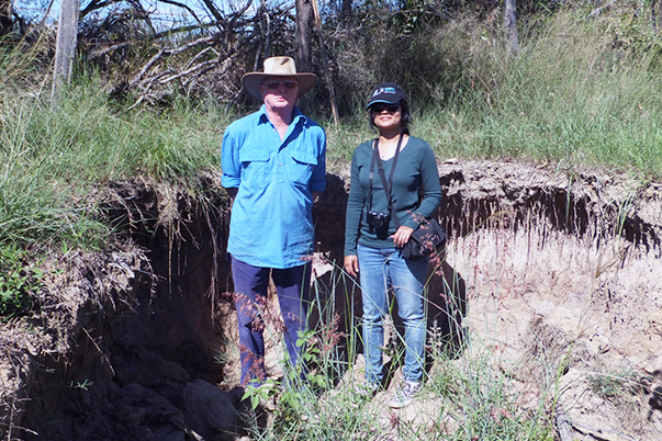
BMRG also had the good fortune to have Neeru Ghale, a Nepalese master’s degree student from the International Water Centre at the University of Queensland working with them. The design and planning work for the site enabled Neeru to use the project as a case study for her master’s thesis.
Neeru assisted with preparation for construction and technical support on one of many visits to the region from her base in Brisbane.
The structure to stabilise the gully was a rock chute under-laid with geofabric and secured with netting. The design of the layout of contour and diversion banks channelled water through the rock chute. In addition, the whole area was planted with grass to revegetate the site.
The construction of the rock chute occurred appropriately during the dry season and with winter rain the structure settled and started to revegetate. Small maintenance works were done in readiness for the wet. In summer, intense storms dumped more than 400mm onto the site within one month and the structure worked perfectly, stopping the erosion in its tracks, securing the communication cable and stabilising the boundary fence and cross road drainage outlet area.
In addition, Langley’s now have a stable gully providing clear water for their stock water dam just downstream. This water runs into the Burnett River and the lower Reef.
Despite intense summer rainfall the system is stabilised with infrastructure secure and grazing country productive, a win-win outcome for all stakeholders.
For more information: Call Cathy Mylrea 07 4181 2999 or email [email protected].
